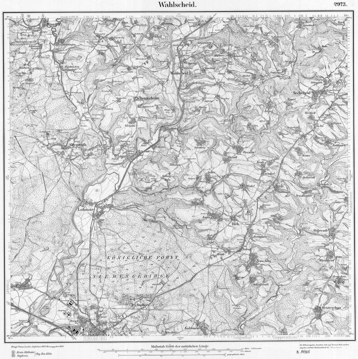
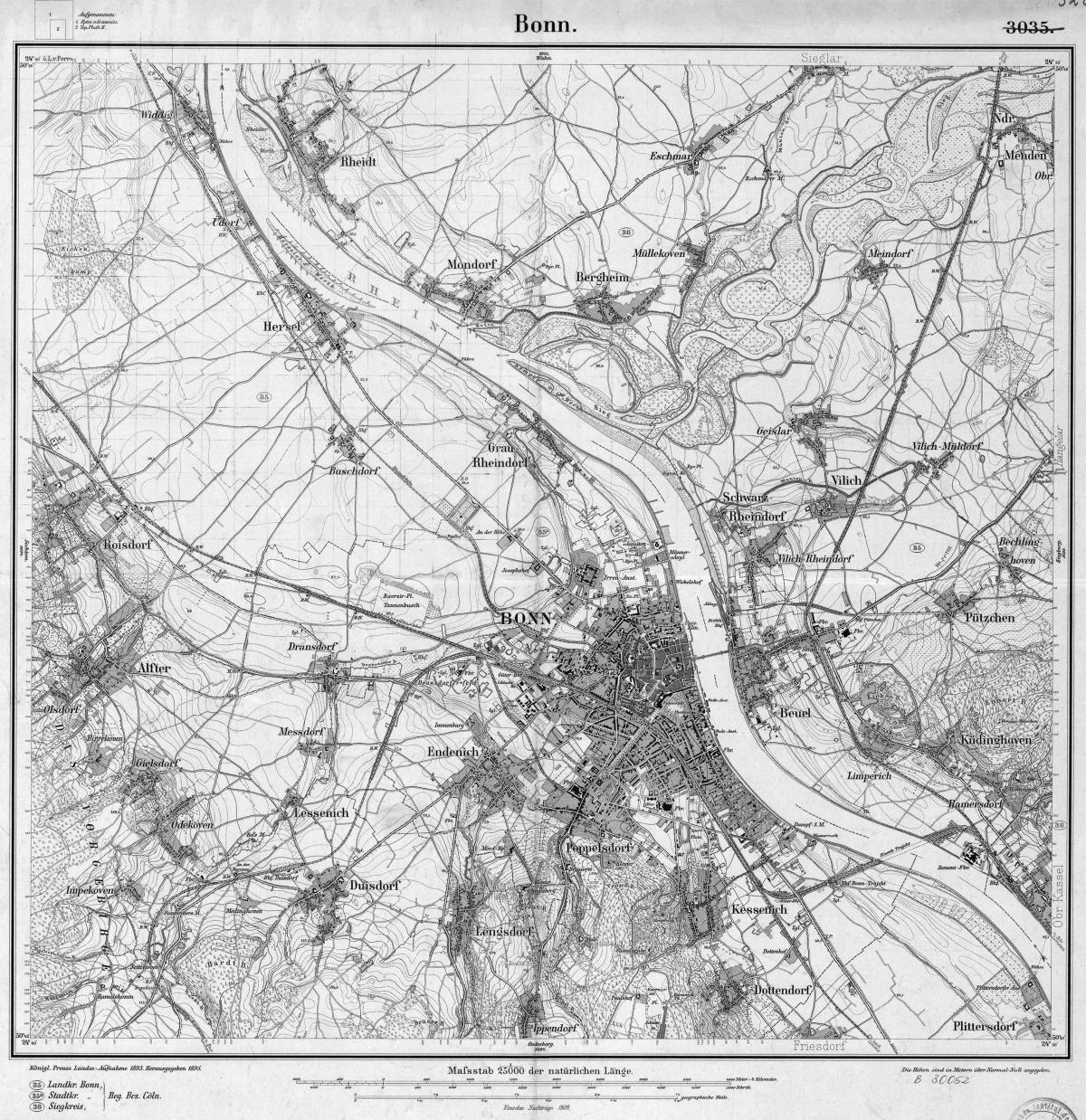
Wow! Some years ago I bought a CD-ROM with historical maps of Siegburg and have placed them this evening here to look for such a map - but you've been faster. On the CD are maps of 1817, ...,1938 and 1948, but not this of 1945. They show exactly the same area and are also # 5209.
But I have some other older maps: the next one in the west Bonn (#5208) and in the north Lohmar/Wahlscheid (5109). Maybe some houses are missing, but the times were not running so fast then and the differences to 1945 shouldn't be too big.
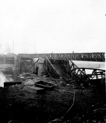
When your father crossed the Sieg already in March, the bridges might still have been usable. If not, there are some fordable places, the Sieg is not so wide. Later nearly all bridges here were blown like the one to Mülldorf below which was recovered with a bailey bridge by the 1262nd Engineer Combat Battalion after the war.
Christoph


